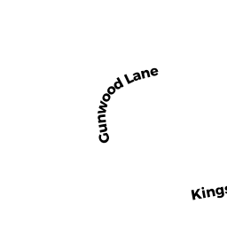
7 GUNWOOD LANE
Owner Information
WILLIAMS THOMAS E & MARY ELLEN
7 GUNWOOD LANE
NORTH EASTON, MA 02356


Property Details
7 GUNWOOD LANE is classified as a Single Family Residential (Colonial).
The primary structure on this property was built in 1971. There are 3,252ft2 of built area within this property. There is 1,700ft2 of residential/living space within this property.
7 GUNWOOD LANE is valued at $443,000. The land is valued at $274,700 and the structures are valued at $166,300. There is an additional valuation of $2,000 on this property.
This property is in Zone RES. Confirm with local Zoning Board authorities to ensure there are no overlays or other easements on this property.
The most recent deed for 7 GUNWOOD LANE is recorded at the local registrar in Book LC-47, Page 0016. 7 GUNWOOD LANE was last sold on Thursday, April 30, 1992 for $168,000.
Assessment data from fiscal year 2022.
Flood Data
According to the FEMA National Flood Hazard Layer, this property does not appear to be in a flood zone. It may also be in an area not yet reviewed. Nonetheless, confirm this information prior to taking any action.
To view the flood hazards around this property, create a FEMA "Firmette" Map of the area around 7 GUNWOOD LANE.
Broadband Internet Providers
| Provider | Type | Bandwidth (mbps) | |
|---|---|---|---|
| HughesNet | Satellite | 25 | 3 |
| Crown Castle Fiber | Fiber | 0 | 0 |
| Viasat Inc | Satellite | 100 | 3 |
| Verizon New England Inc. | DSL | 5 | 0 |
| Verizon New England Inc. | Fiber | 940 | 880 |
| Comcast | Cable | 1000 | 35 |
| T-Mobile | Fixed Wireless | 25 | 3 |
| GCI Communication Corp. | Satellite | 0 | 0 |
| VSAT Systems, LLC. | Satellite | 2 | 1 |
Broadband service provider data from December 2020.
Adjacent Properties
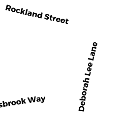
- 32 ROCKLAND STREET
Single Family Residential owned by DENETTE DANIEL A. & KRISTEN M. - 34 ROCKLAND STREET
Single Family Residential owned by BROWN WALTER L & LINDA D L. E. - 11 GUNWOOD LANE
Single Family Residential owned by DESMOND JOHN R. & MARY R. TRUSTEES - 28 ROCKLAND STREET
Single Family Residential owned by TURNER THANE NOLAN & RACHEL LEIGH TRS - 30 ROCKLAND STREET
Single Family Residential owned by MOLLOY JOHN J & CHRISTINA